Table of contents
Highlights of 2017
The Year in Review
When Disaster Strikes, Dedication Matters
FCCI’s Response to Hurricane Irma
Confidence After Chaos
Recovering from Tornado Damage
A New View on Claims
FCCI’s Drone Fleet Program
A Sure Path to Success
FCCI Surety’s Best Year Yet
Inside FCCI and Our Eight Pillars
Being a Best Employer Means Giving Back
Building Dreams, Changing Lives
FCCI’s Corporate Citizenship and Volunteerism
Charting the Course
FCCI Board of Directors and Officers
A Special Thank You to Our Agents
FCCI Chairman’s Club and President’s Club
About FCCI Insurance Group
In Memory of Gil Waters
A Tribute to an Innovator
2017 Contributors
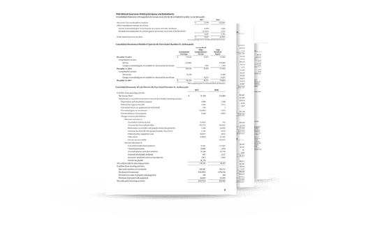
Download our full financial statements
Consolidated Financial Statements
As of and for the Years Ended December 31, 2017 and 2016
DOWNLOAD PDF
A Message from Craig Johnson
FCCI’s Chairman of the Board, President & CEO


A new view on claims
FCCI’s Drone Fleet Program

FCCI’s founders built an innovative approach to handling claims from the ground up. But the latest innovation is coming from the sky.
In the last several years, the use of drones has skyrocketed, and it’s continuing to grow. Far from just being toys, drones have practical applications in many industries, including insurance. Allowing for swift damage assessments in high and hard-to-reach places, the use of drones both reduces risk to claims adjusters and speeds claims adjusting.
With high-definition aerial photography, drones can be used to detect anything from extensive building damage to tiny, granular cracks in the asphalt of a road. They can be used for structural monitoring, such as measuring a roof that would have previously required a claims adjuster to climb a ladder or scaffolding — often in poor conditions or inaccessible places. They can also provide analytics that are difficult to glean with the naked eye, speeding the completion of loss reports.
FCCI has embraced this advancement by investing in a fleet of top-of-the-line drones. Wayne Camp-Bell, FCCI Corporate Claims Examiner, manages the FCCI Drone Fleet Program. “We are already seeing benefits from the program in the timeliness by which we can respond and in the huge improvement in the vantage points of the images,” said Wayne. “The drones are helping speed up our claims processing time, ultimately providing better service for our policyholders.”
The first real test of the program came in August 2017, when Hurricane Harvey made landfall on the Texas Gulf Coast. Having tracked the storm and planned a response, FCCI’s Southwest Region was prepared. Every Southwest Region teammate was All In, and additional claims adjusters had come in from other regions to help service claims as they were reported.
FCCI property adjusters Brad Thompson from the Southeast Region and Jason Cherry from the Florida Region were positioned in San Antonio. As certified drone pilots, they were equipped with a drone that allowed them to obtain aerial views in flooded areas that were difficult to access from the ground.
One of the first reports of damage came from Placedo, Texas. Brad deployed the drone to assess the property, which included severely damaged buildings and silos. The detailed drone footage allowed them to see both damage and repair options that weren’t visible at ground level, allowing the team to gather bids for demolition and reconstruction within 48 hours of the storm. This technology can help with reducing overall processing time of claims.
Over the next couple of weeks, FCCI’s Southwest Region teammates, along with assistance from their colleagues from other regions, crisscrossed their way around the Texas Gulf Coast area inspecting and estimating losses. Every claimant in the Houston area was contacted to determine if they needed assistance.
Thanks to the All In teammate effort and the new vantage point afforded by the FCCI Drone Fleet Program, claims related to Hurricane Harvey were handled faster than expected.
The right view can make all the difference.
Drone footage of building damage in Placedo, Texas


Next Article
A sure path to success